Route 5
Fuente el Canto
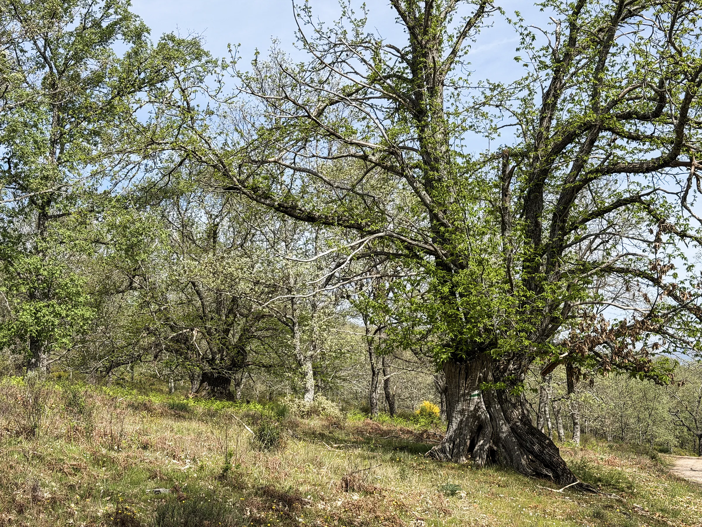
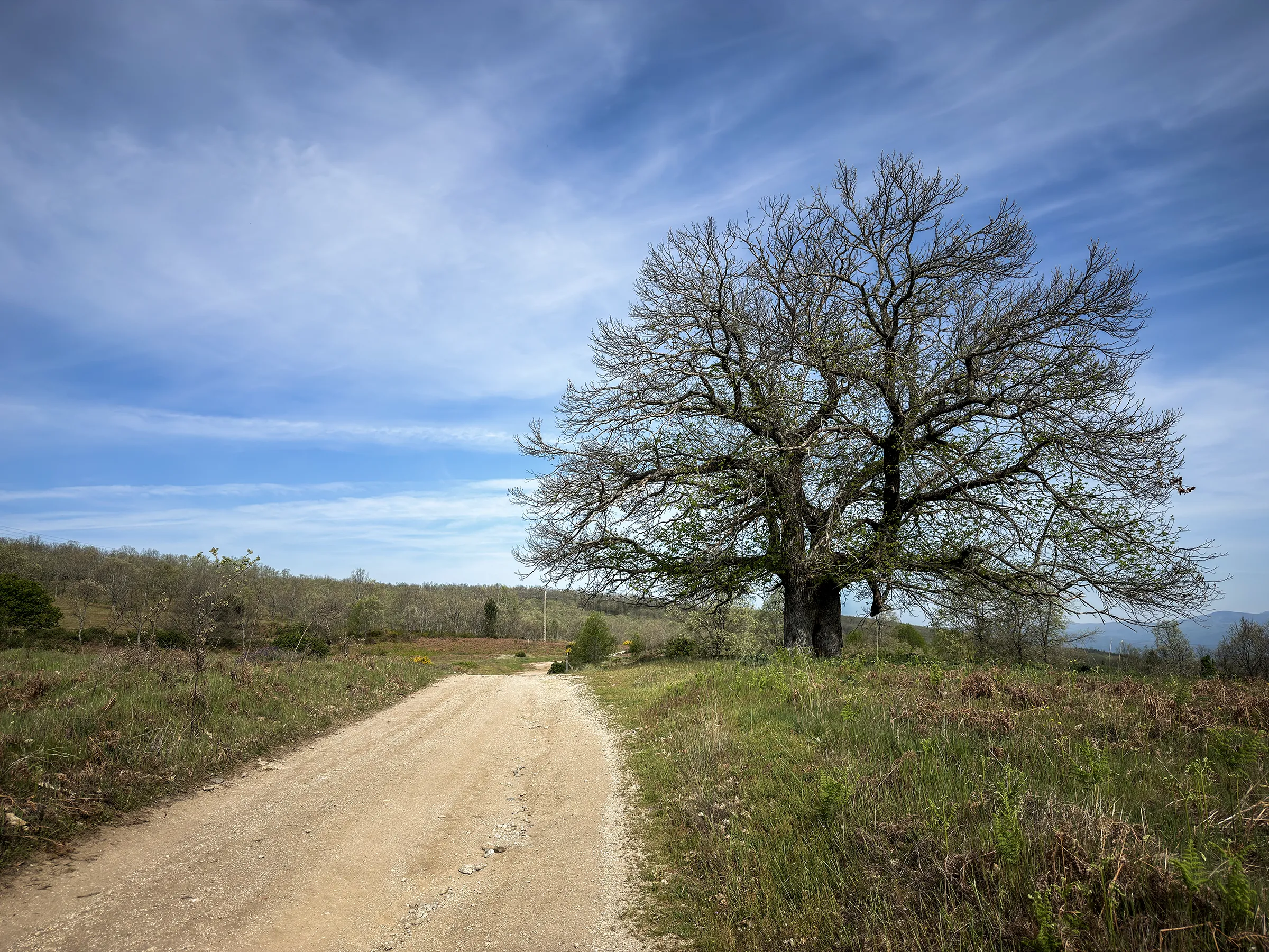
There are routes that don't need to go very far to find something great. The Fuente el Canto route begins at the bus stop and ends among centuries-old oaks that have been here far longer than we have.
Distance
9,7 Km
Duration
2h 45'
Difficulty
Low
Route Type
Circular
Route 5
Fuente el Canto
Route description
This is Lagunilla’s most accessible route, and also the one that starts closest to the village: setting off from the bus stop, along familiar streets, gives no hint of what the path holds. The Valdelageve road is soon left behind for the old lane running alongside it, which leads in beneath chestnut trees of enormous size. Just a few metres into the Fuente el Canto lane, surrounded by meadows, orchards and chestnut groves, the village is truly left behind.
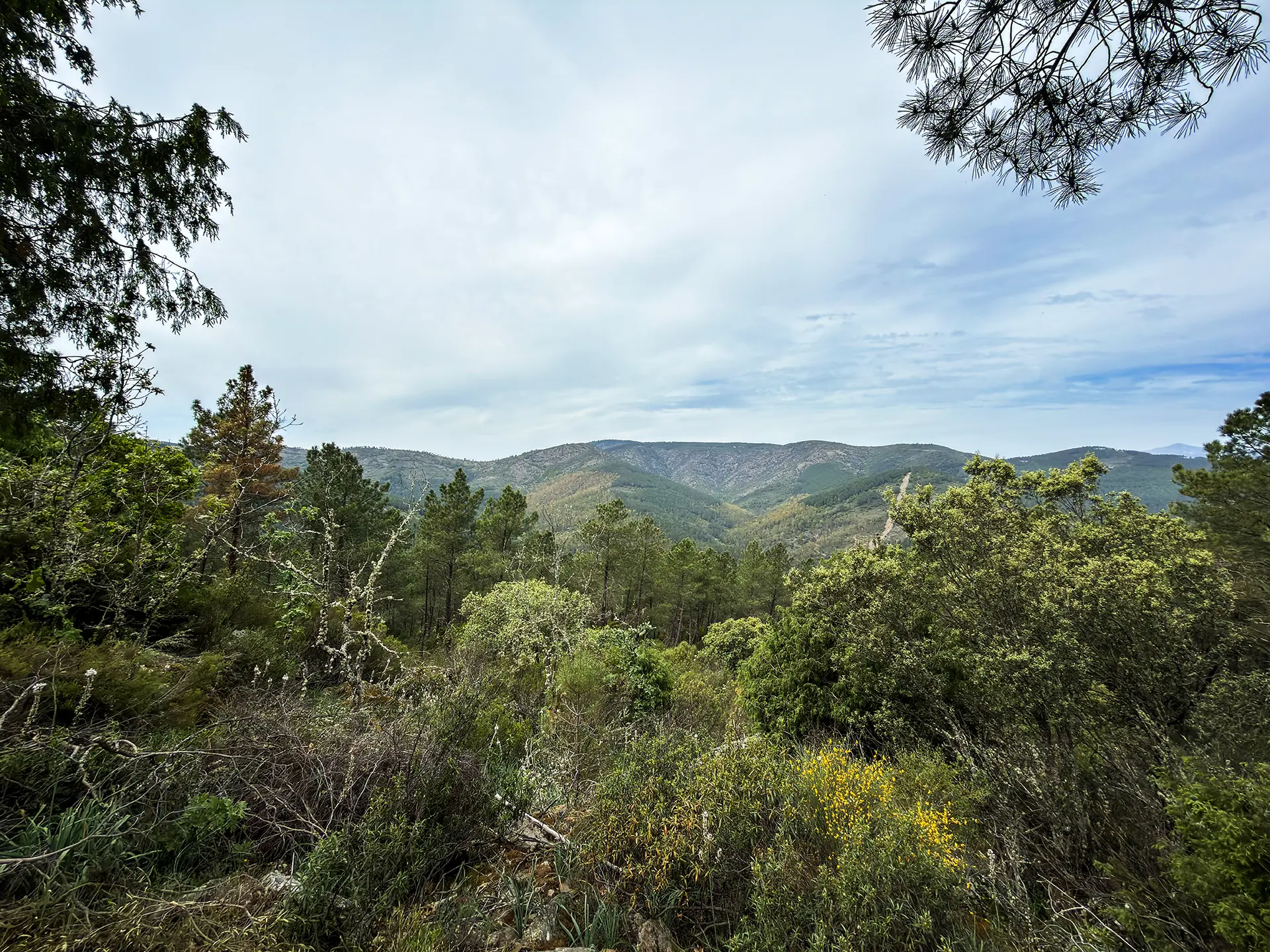
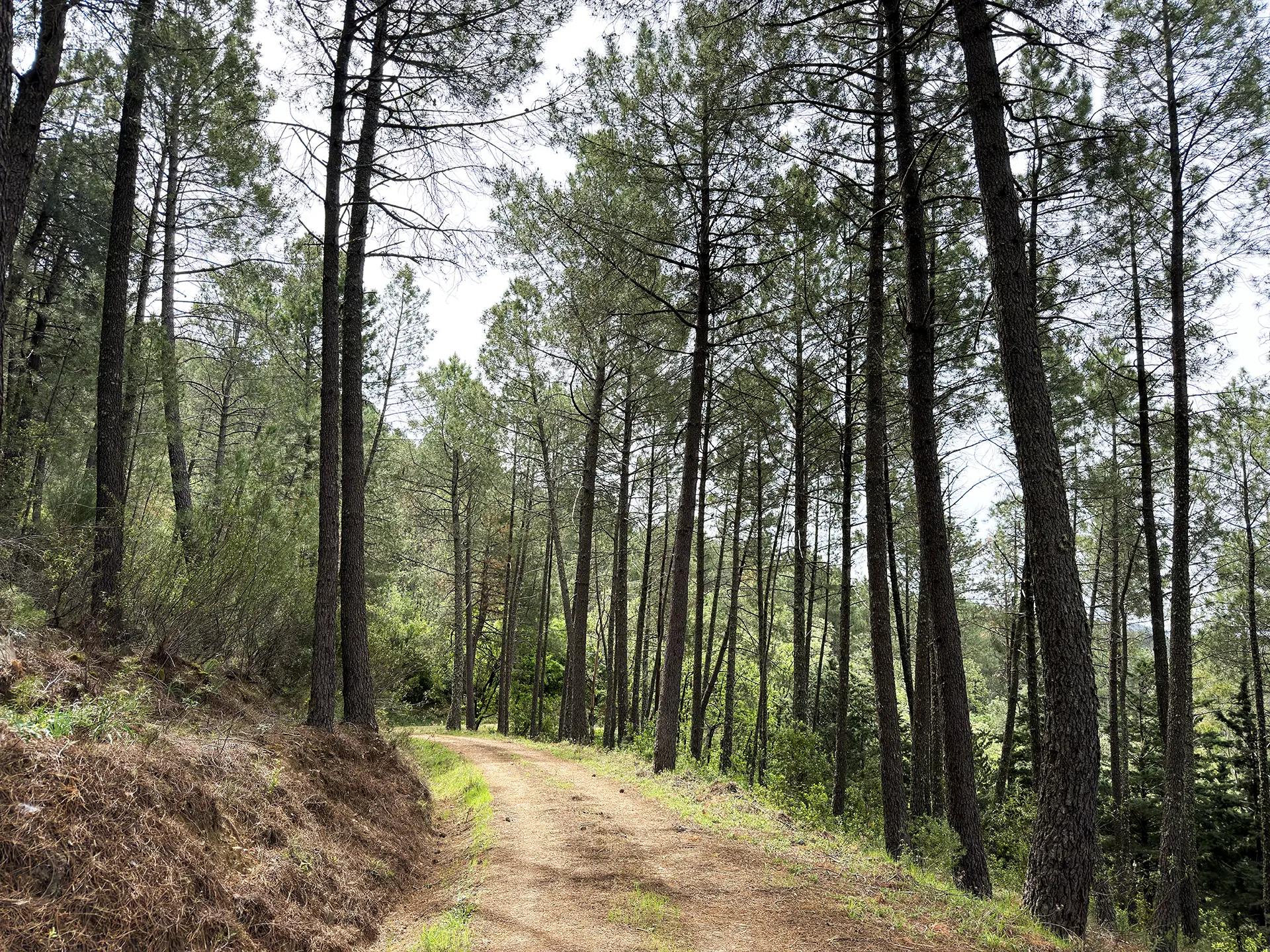
The Fuente de los Pobres marks the turning point. From there the vegetation changes register: pines, rockrose, strawberry trees and heather take over, and the landscape opens onto the Valle de los Horcos. The final climb to the Cerrito de San Pedro, crowned by imposing centuries-old oaks, rounds off a route that surprises anyone who underestimates it because of its short distance.
The Fuente el Canto, halfway along, provides water all year round.
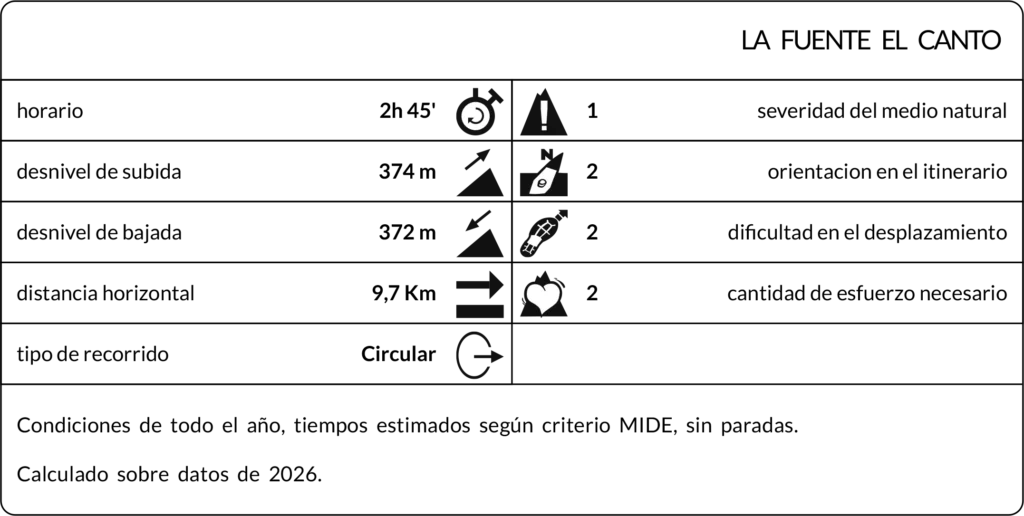
Max elevation: 958 m
Min elevation: 763 m
Total climbing: 343 m
Total descent: -336 m
Photo Gallery