Route 4
Pozo los Horcos
There are routes that show no mercy. The Pozo los Horcos route climbs without apology to the sierra's 1,091 metres. And from up there, the Extremadura plain stretches so far it's hard to believe you got here on foot.
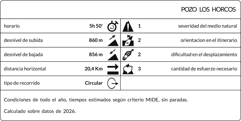
Distance
20,4 Km
Duration
5h 50'
Difficulty
Medium-High
Route Type
Circular
Route 4
Pozo los Horcos
Route description
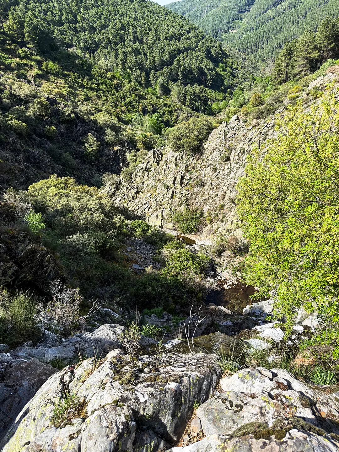
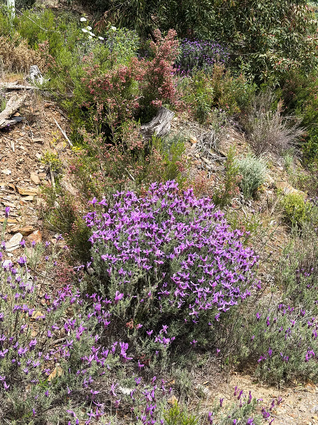
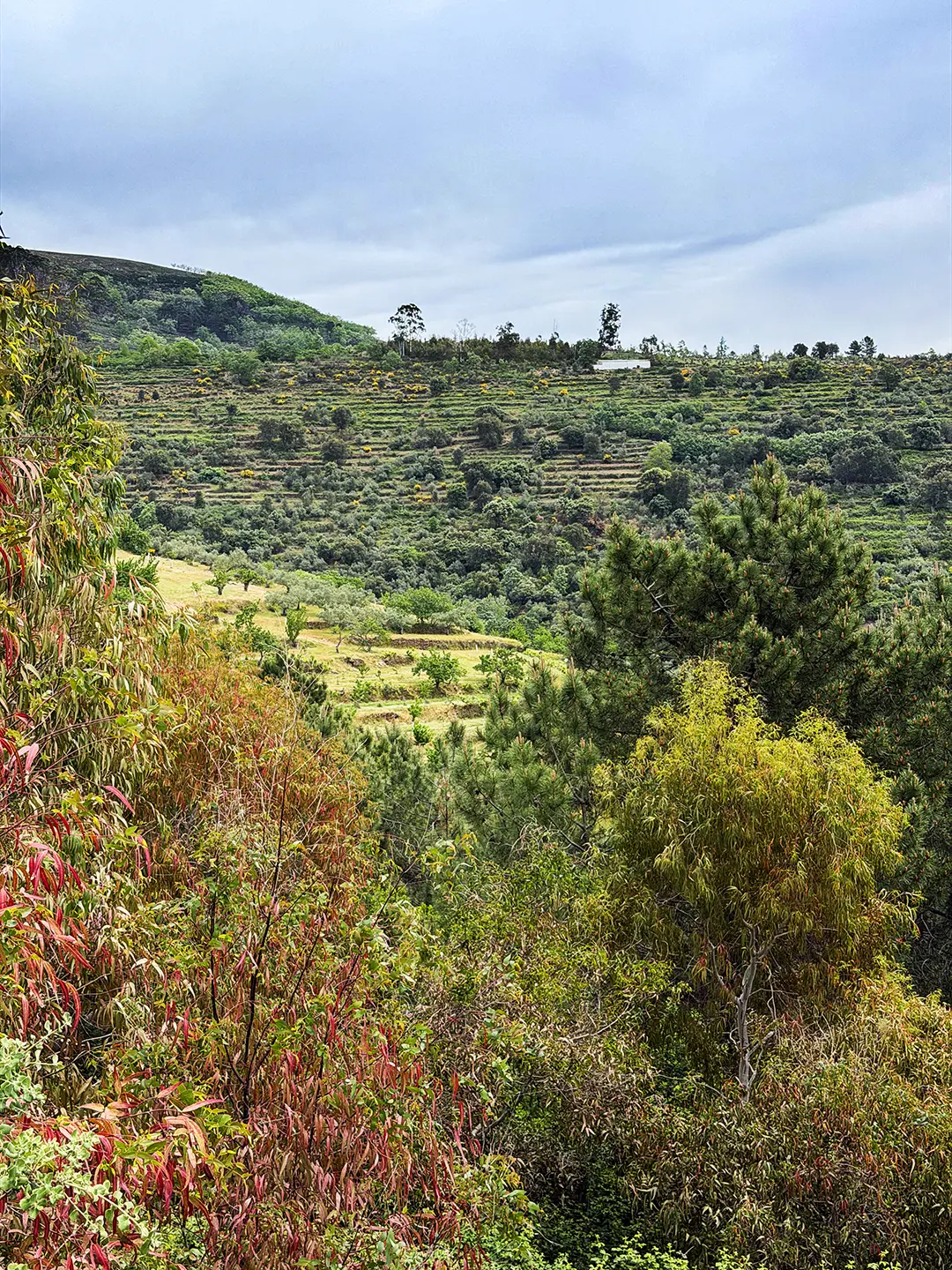
Route 4 is Lagunilla’s most demanding, and also the one that climbs highest. Setting off from the Pilar de los Mártires, among thyme, heather and rockrose, gives no hint of what’s to come: a descent through El Risco past vineyards, olive groves, eucalyptus and pines down to the Collá los Cepos, from where the route’s toughest climb begins. The firebreak climbs relentlessly to the sierra’s highest peak, at 1,091 metres, from where you can see the Gabriel y Galán reservoir, the Peña de Francia, the Sierra de Béjar, the Sierra de Hervás and much of the Extremadura plain. One of the widest panoramas in the whole area.
The descent holds two stops worth the time. El Pizarral is an old quarry that once supplied the stone used to build the floors and window surrounds of the village’s houses, a piece of local history at ground level. A short distance away, the vulture feeding station offers one of the sierra’s most striking sightings if your visit coincides with feeding activity.
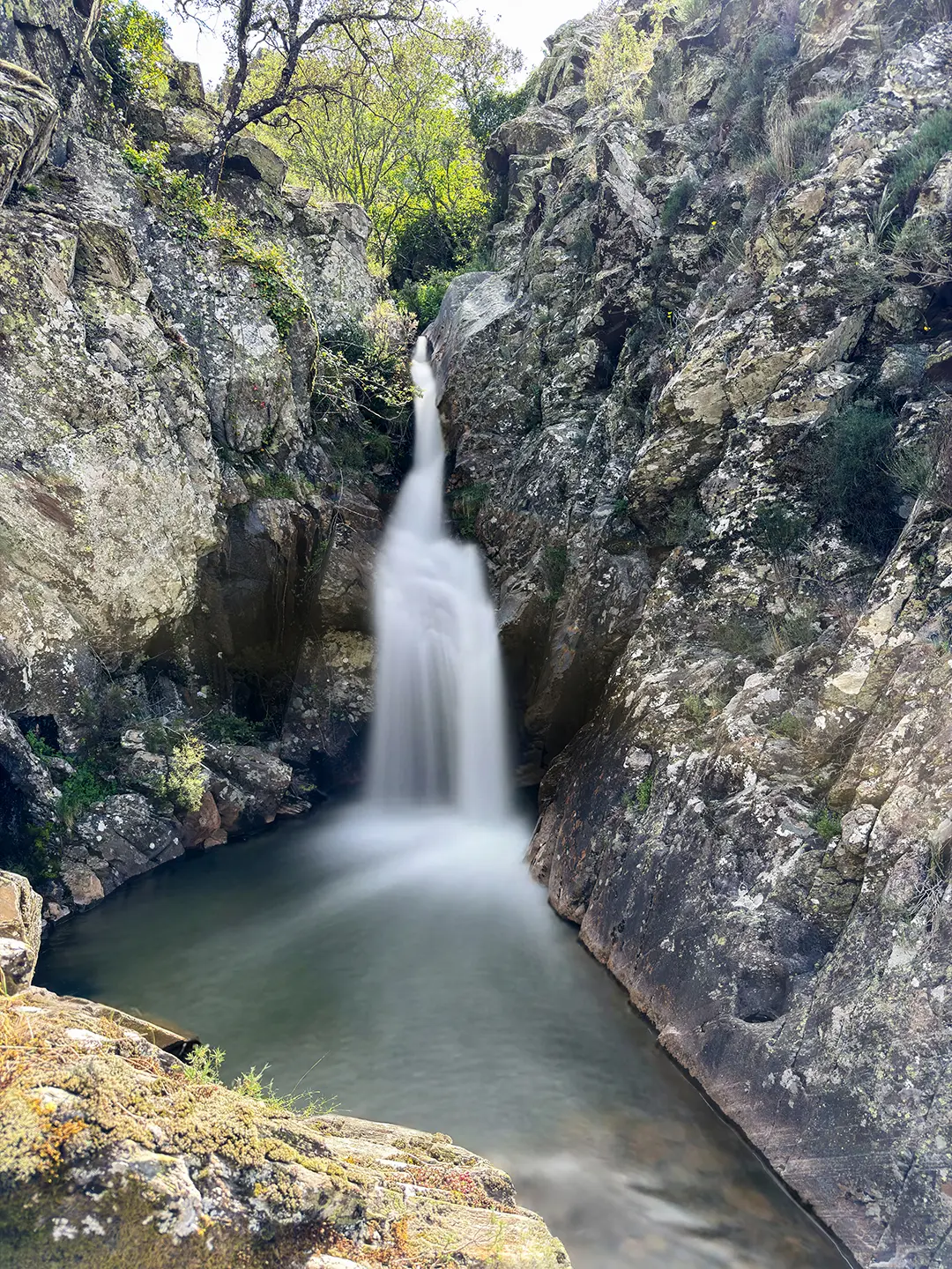
At the end of the route, the Pozo los Horcos and its huge, hard-to-reach waterfall are, on their own, worth the day’s effort.
Max elevation: 1092 m
Min elevation: 699 m
Total climbing: 1216 m
Total descent: -1192 m
Photo Gallery