Route 3
La Cabrera y Vega el Puerto
There are routes that climb so you can see it all. La Cabrera and Vega el Puerto takes you to where the vultures know the terrain better than anyone. And on the way back, the Pozo los Horcos waterfall waits right where it's always been.
Distance
19,3 Km
Duration
5h 35'
Difficulty
Medium
Route Type
Circular
Route 3
La Cabrera y Vega el Puerto
Route description
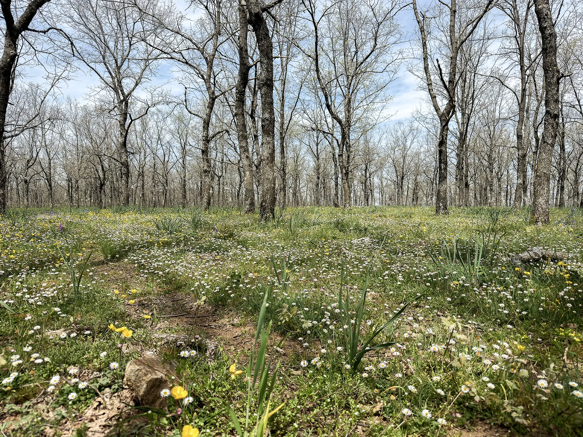
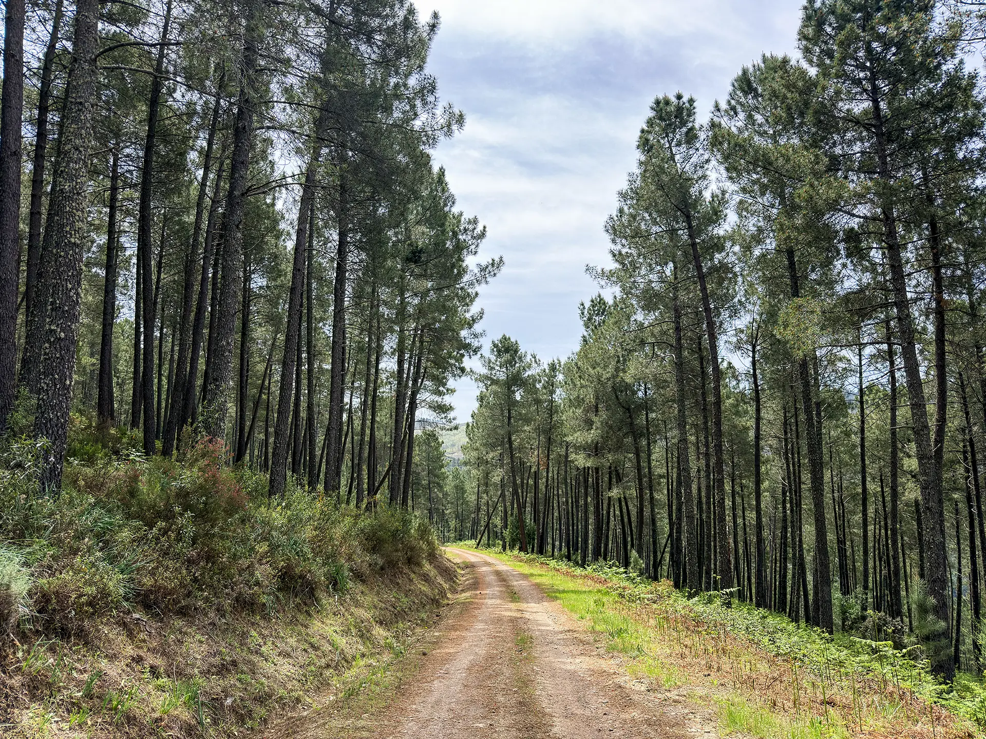
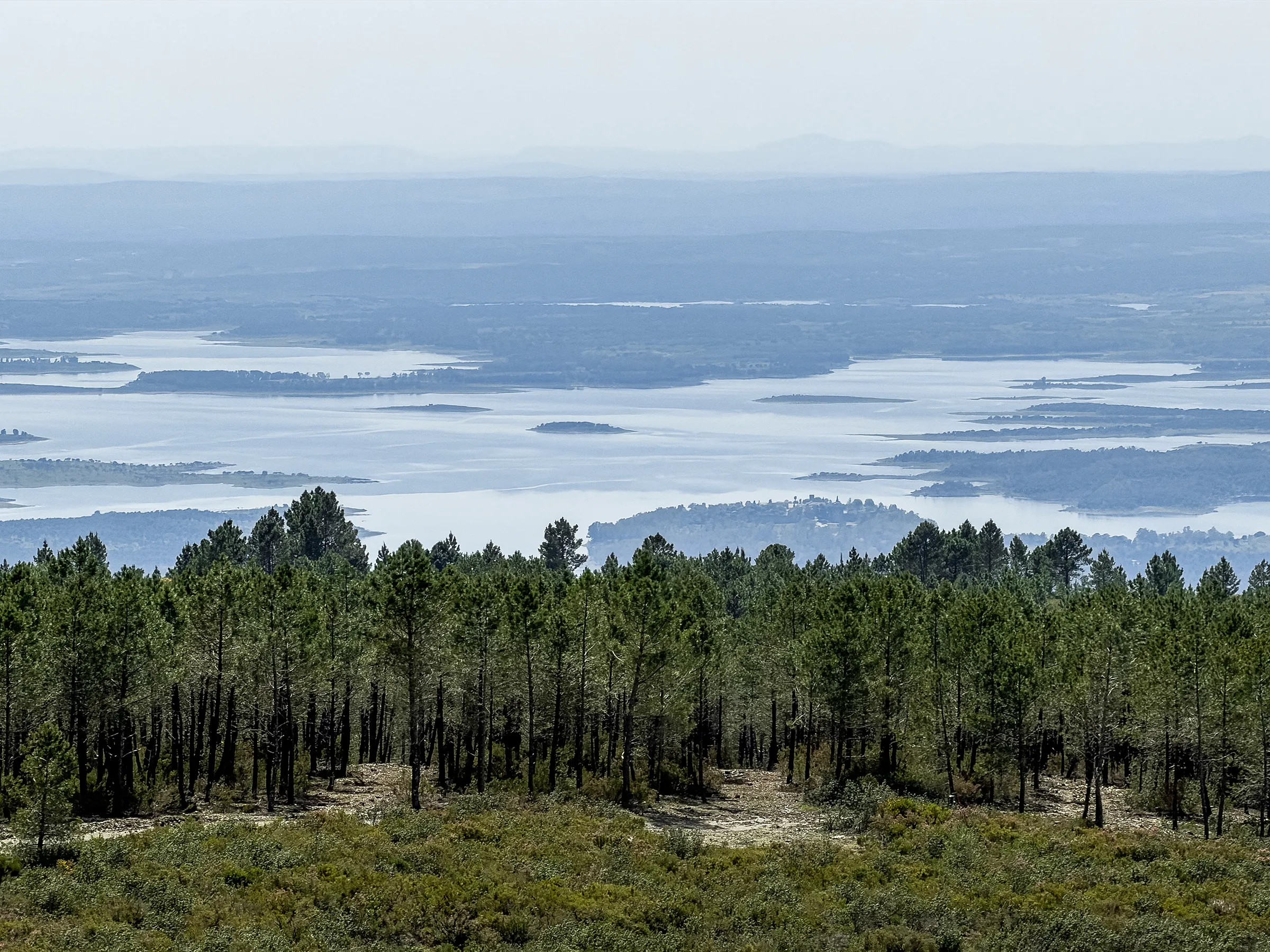
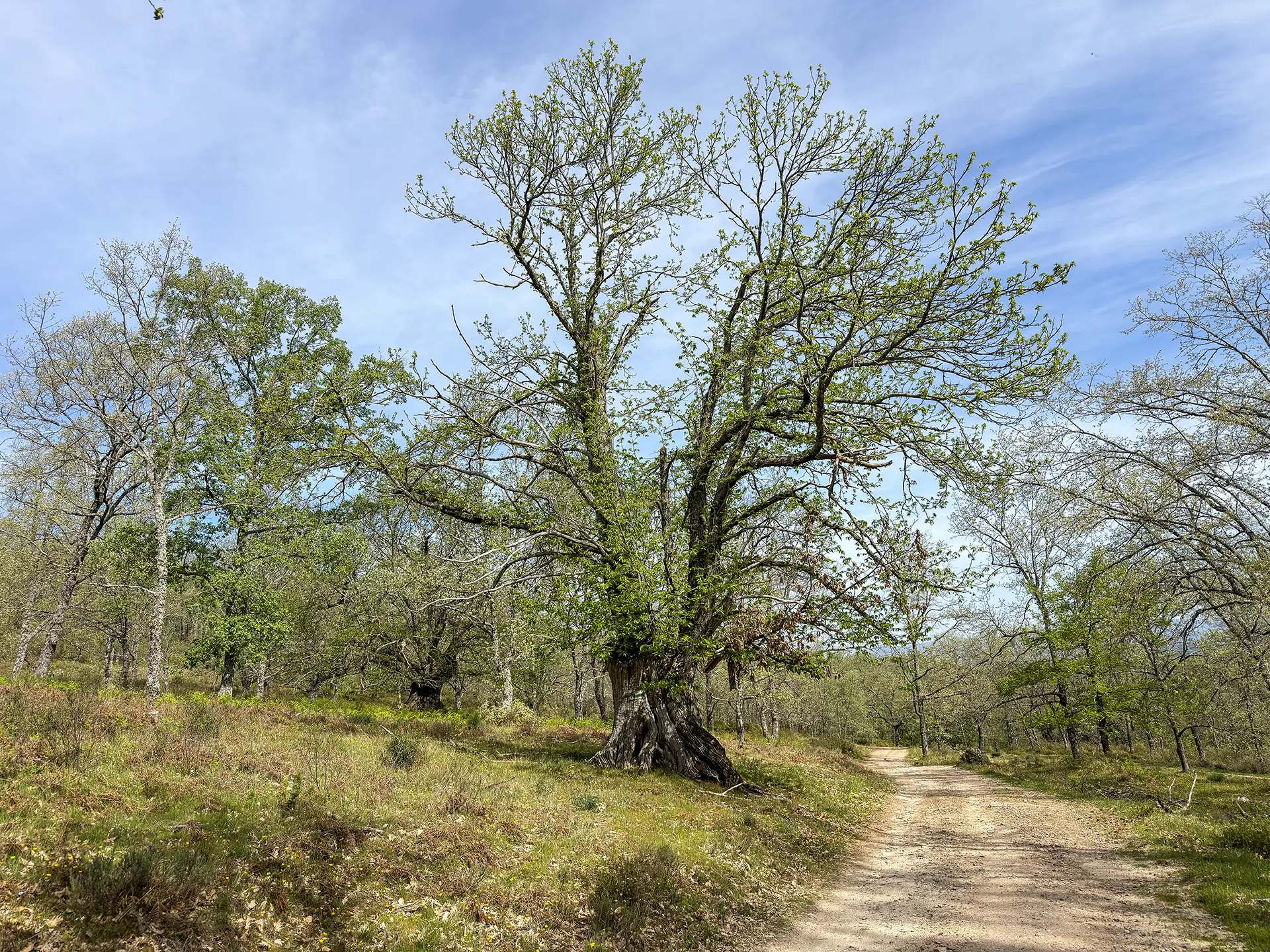
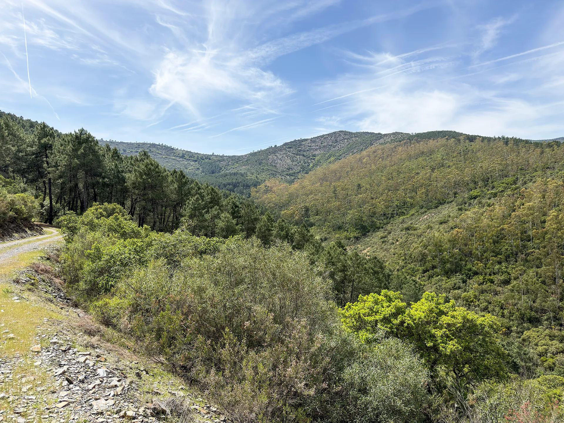
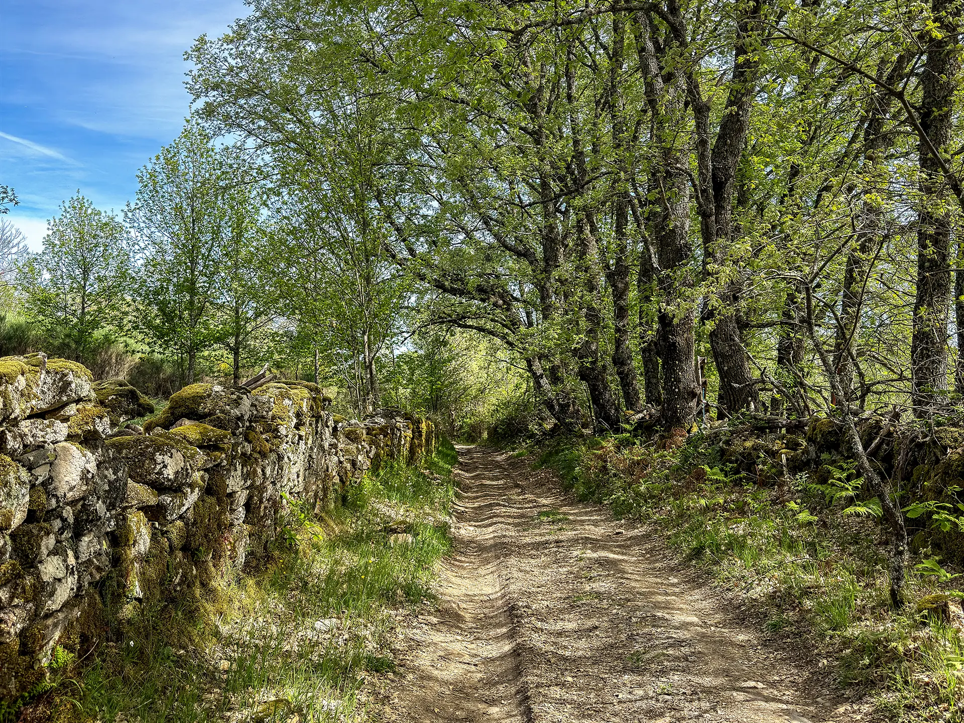
The route begins with a gentle climb to the Cerrito de San Pedro, where the views over the Sierra de Francia already justify the outing. From there the path enters a changing landscape: oaks, heather, rockrose and mastic shrubs at first, then pine forest, until reaching the vulture feeding station, one of the most distinctive spots in the whole sierra. If your visit coincides with feeding activity, a spectacle is guaranteed.
The descent toward La Cabrera passes through strawberry trees, junipers, hawthorns and eucalyptus. On arrival, the place speaks for itself: entire families once lived here herding goats, which is where the name comes from, and the huts and pens where they lived and kept their livestock are still preserved. A little further down runs the Arroyo de los Horcos, opening onto the Vega el Puerto.
The return climbs via La Barragana and Los Borbollones, saving the best image for last: the Pozo los Horcos waterfall, impressive even seen from above.
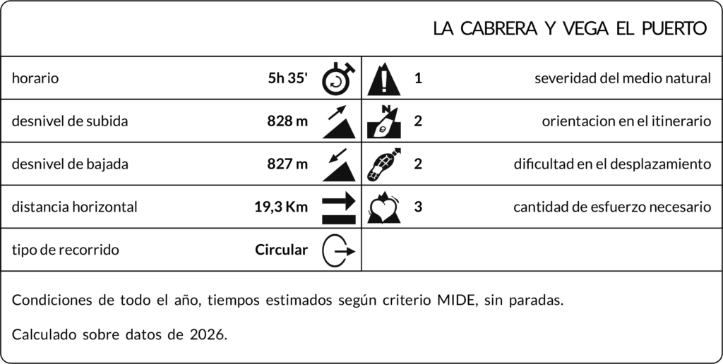
Max elevation: 1026 m
Min elevation: 515 m
Total climbing: 670 m
Total descent: -676 m
Photo Gallery