Route 2
Valle de Hornacinos
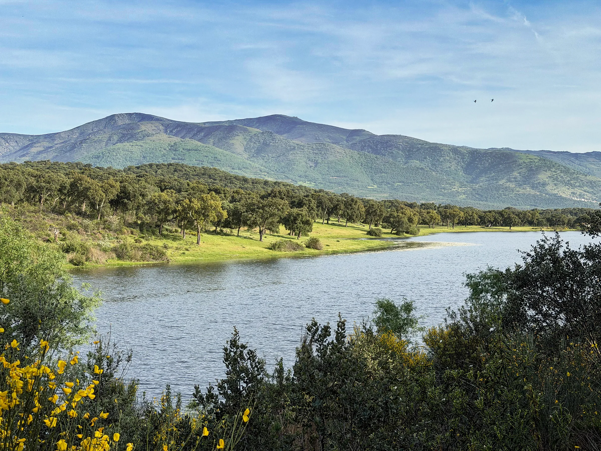
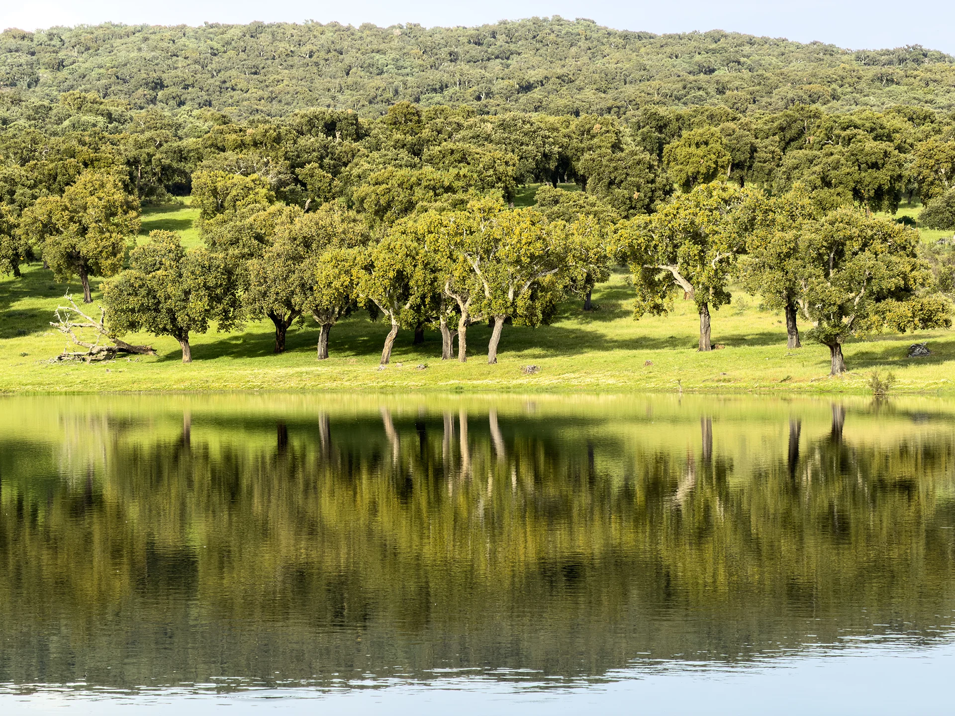
There are routes that descend slowly so you don't miss a thing. The Valle de Hornacinos holds two thousand years of history beneath its olive trees. And at the end of the path, the Marides reservoir appears all at once, like a reward.
Distance
17 Km
Duration
4h 4'
Difficulty
Medium
Route Type
Circular
Route 2
Valle de Hornacinos
Route description
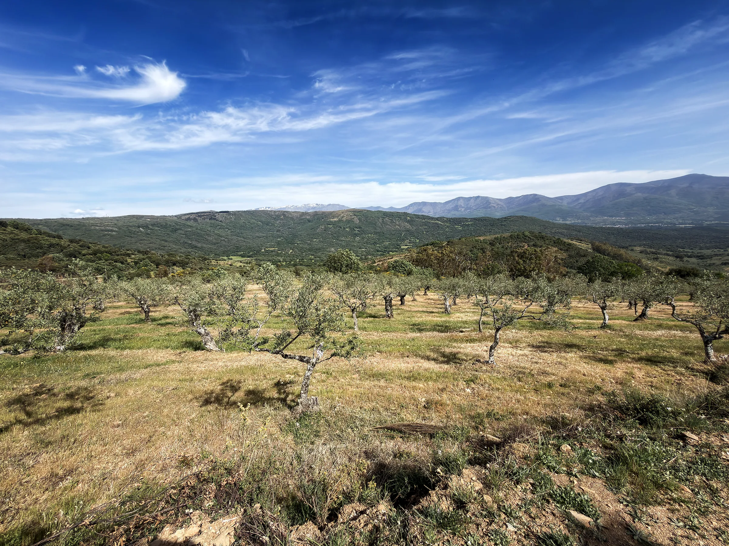
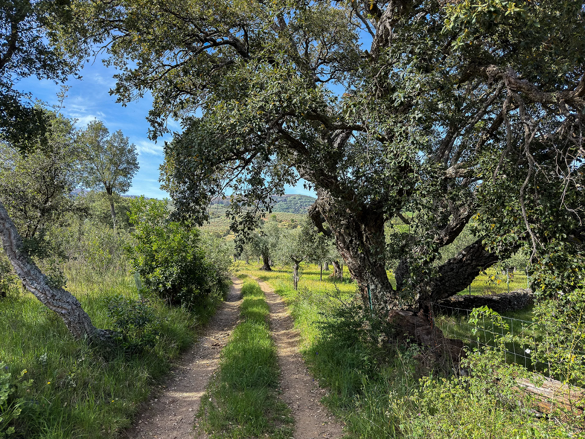
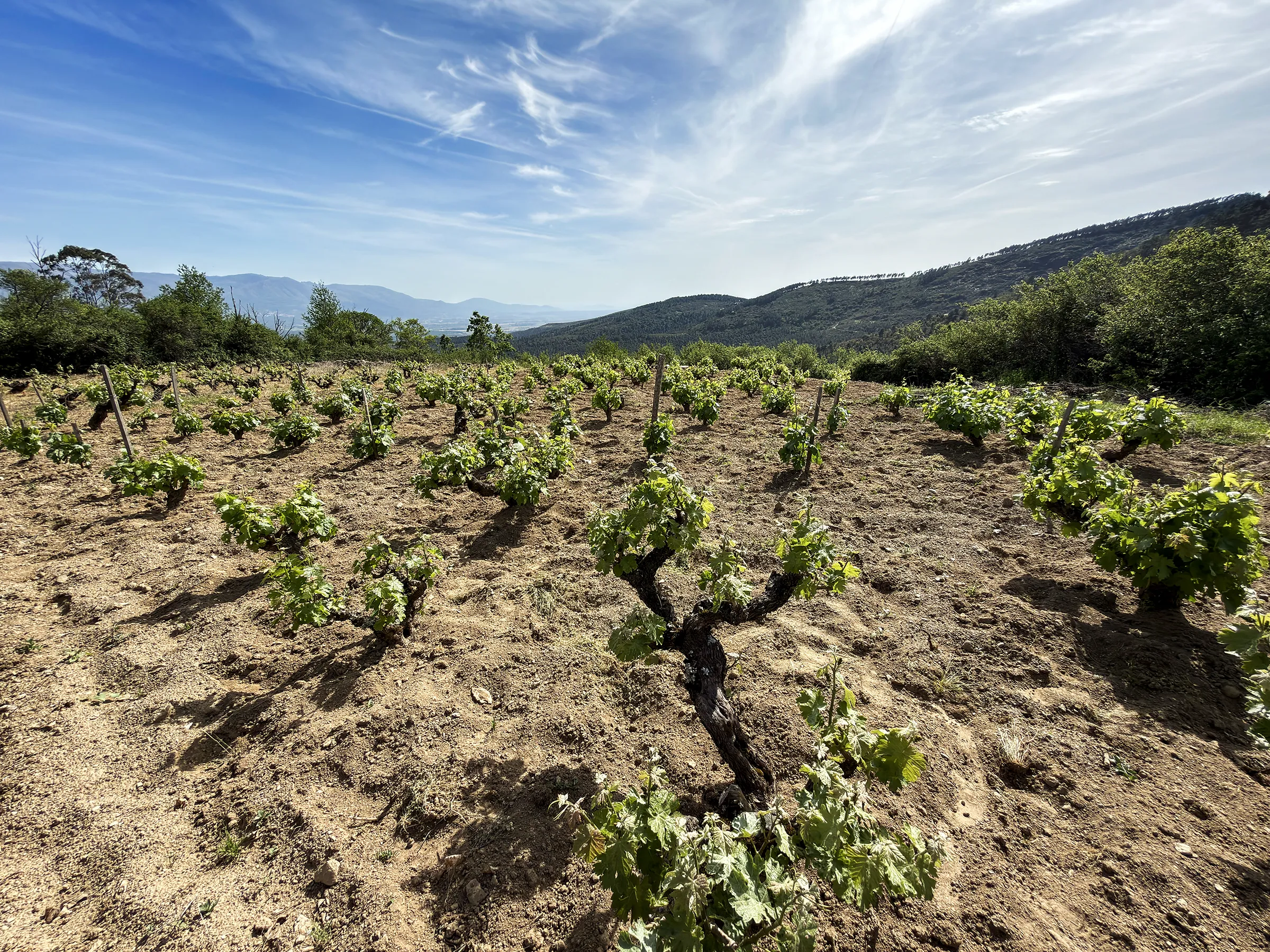
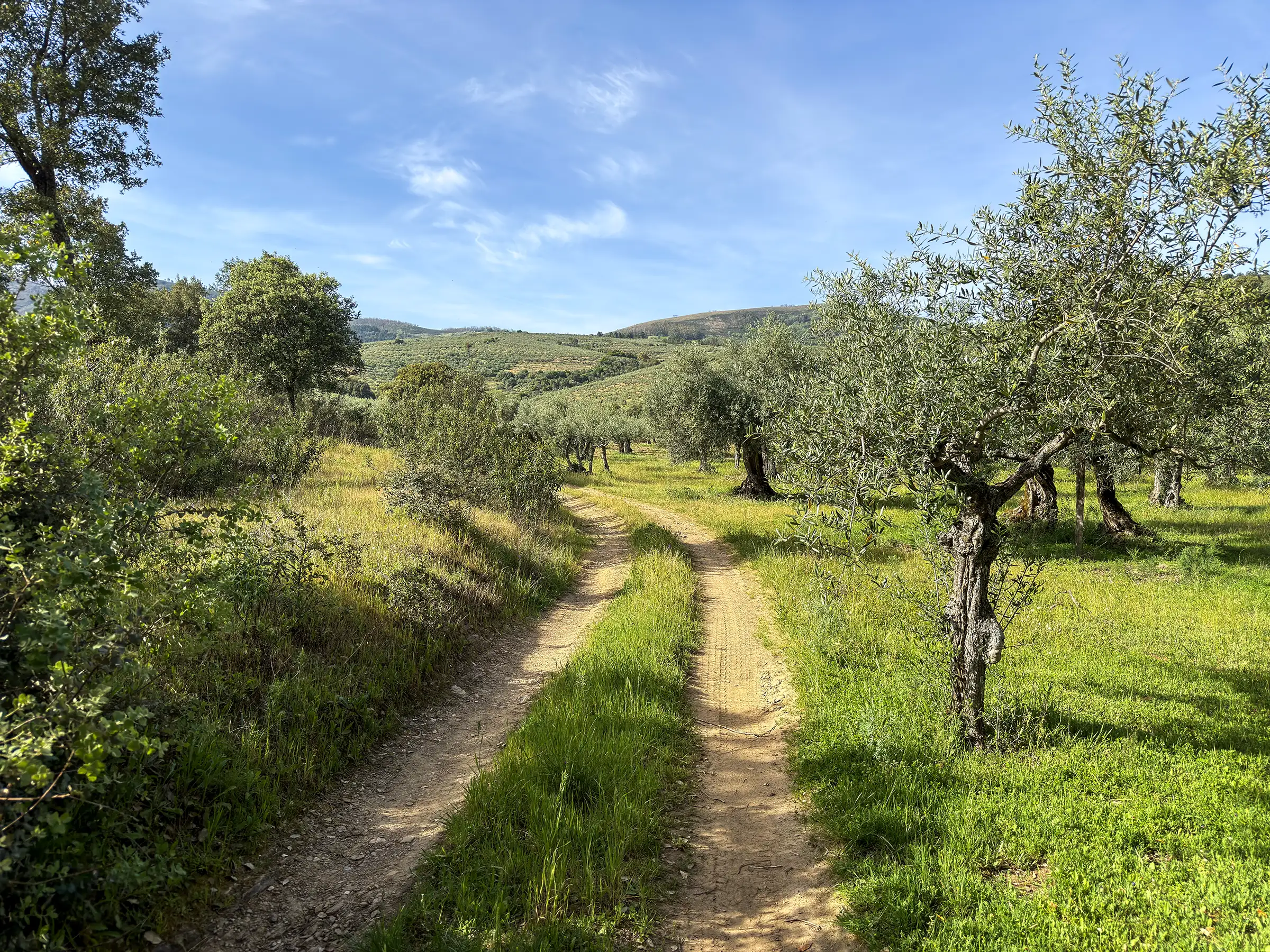
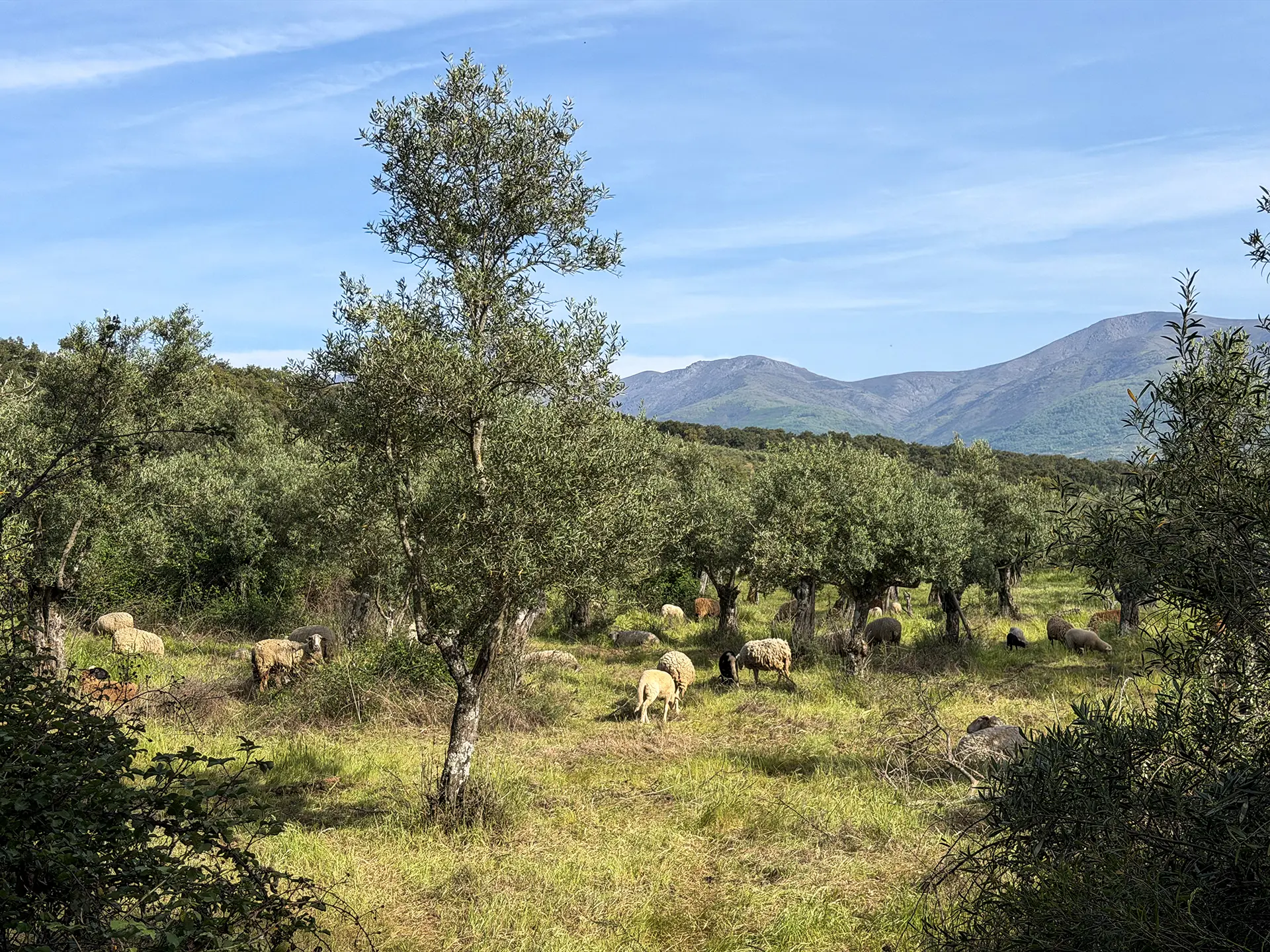
The route starts at the Fontanita water trough and descends along a winding, cobbled lane that already hints at the character of the walk: old, quiet, with plenty to take in on either side. The first meadows and vineyards gradually give way to fig trees, fruit trees and, further down, large stands of Rhododendron ponticum, cork oaks and olive trees. Olive growing is Lagunilla’s main crop, and the manzanilla olives grown here are of exceptional quality, producing an oil hard to find anywhere else.
Partway down the slope, the Marides reservoir comes into view, along with the vast valley that gives the route its name. What is landscape today was, between the 4th and 3rd centuries BC, Vettone territory: remains of a settlement from that pre-Roman culture have been found beneath these soils. The climb back up passes through large olive groves, and partway up it’s worth stopping at La Serranilla, where a slate Iberian hillfort has been preserved. Past Las Callejas, the vegetation changes completely: heather, thyme and rockrose take over and the landscape opens up. The Fuente de Los Mártires, at the end of the route, brings the walk to a close.
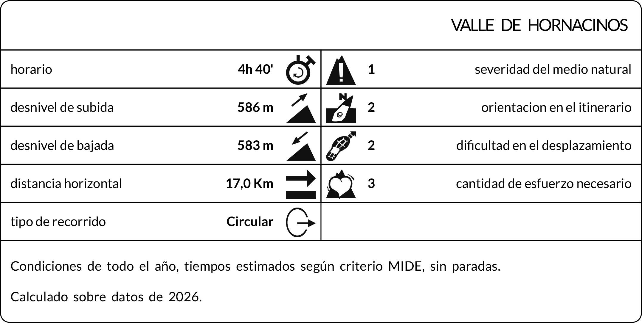
Max elevation: 940 m
Min elevation: 505 m
Total climbing: 773 m
Total descent: -740 m
Photo Gallery